Last updated on 2016-12-26, by
2010 Chile Earthquake Video Slideshow
The 2010 Chile earthquake occurred off the coast of the Maule Region of Chile on February 27, 2010, at 03:34 local time (06:34 UTC), rating a magnitude of 8.8 on the moment magnitude scale and lasting for about three minutes. The cities experiencing the strongest shaking—VIII (Destructive) on the Mercalli intensity scale—were Talcahuano, Arauco, Lota, Chiguayante, Cañete, and San Antonio. The earthquake was felt in the capital Santiago at Mercalli intensity scale VII (Very Strong). Tremors were felt in many Argentine cities, including Buenos Aires, Córdoba, Mendoza and La Rioja. Tremors were felt as far north as the city of Ica in southern Peru. Tsunami warnings were issued in 53 countries, and a tsunami was recorded, with amplitude of up to 2.6 m (8 ft 6 in) high, in the sea at Valparaíso, Chile. President Michelle Bachelet declared a “state of catastrophe”. She also confirmed the deaths of at least 708 people. Many more have been reported missing.
The epicenter of the earthquake was offshore from the Maule Region, approximately 8 km (5.0 miles) west of Curanipe and 115 km (71 mi) north-northeast of Chile’s second largest city, Concepción. The earthquake also caused seiches to occur in Lake Pontchartrain to the north of New Orleans, United States, located nearly 4,700 miles (7,600 km) from the epicenter of the quake.
–form Wikipedia
2010 Chile Earthquake Slideshow (Original)
View more presentations from Emerito Razon.
2010 Chile Earthquake Video Slideshow
This Video Slideshow was Converted from the PowerPoint file CHILE Earthquake – February 27,2010 with Moyea PPT to Video Converter, click to download the free trial to upload your own PowerPooint to Youtube.
-

Best BFlix Alternatives for Streaming MoviesCassie/2024-04-08
-
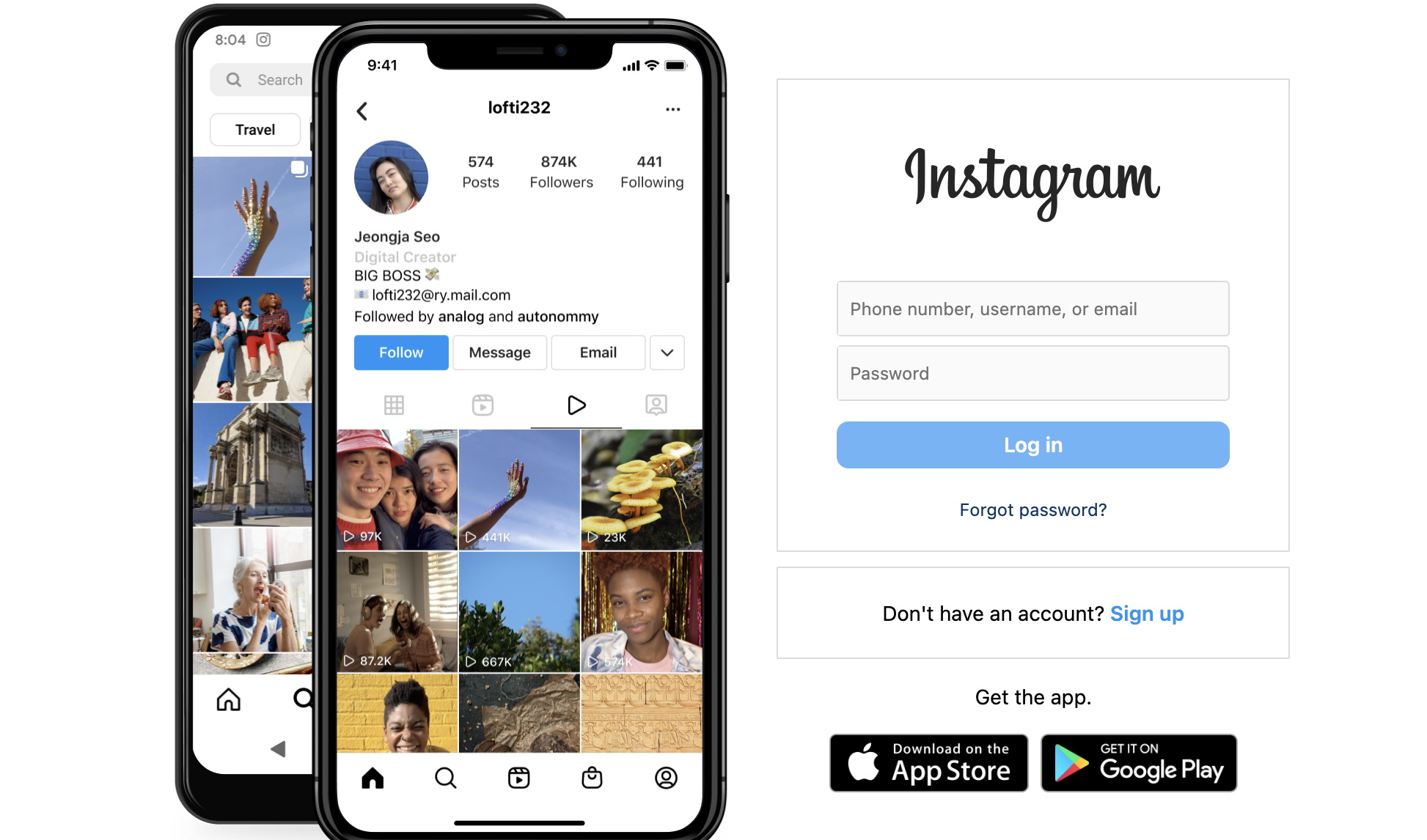
[2024 Guide] How to Upload A Video to Instagram?Cassie/2024-03-29
-
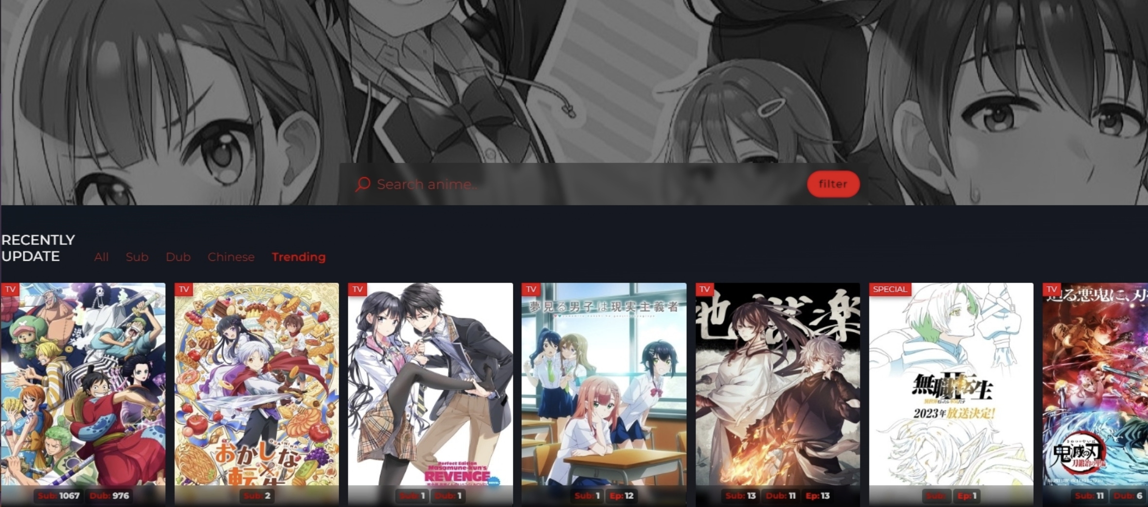
8 Best Animesuge Alternatives to Watch Anime OnlineCassie/2024-02-29
-
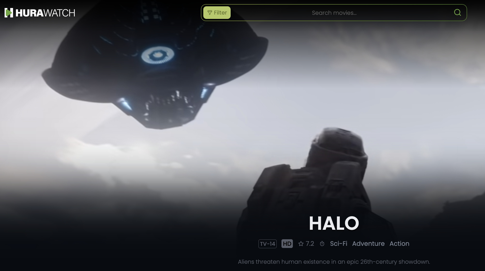
20+ Top Hurawatch Alternatives for Movies OnlineCassie/2024-02-29
-

Vegamovies Site: Best Alternatives to Watch Hindi Dubbed MoviesVinho/2024-02-18
-
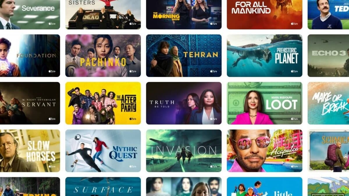
The 13 Best Movies on Apple TV Plus Right Now, Original Movies IncludedAugust/2024-01-30
-

[2024 Guide] Can You Download Facebook Reels Online?Cassie/2024-01-30
-
How to Download Movies on Apple TV Plus?August/2024-01-30
-

Crunchyroll Downloader: Top 4 Picks to Download on CrunchyrollCassie/2024-01-30
-

Can You Download on ESPN+? How to Download ESPN Videos?Cassie/2024-01-30
-

Rent Your Favorite Movies & TV Series from YouTube Store Todayvideo/2022-11-22
-
Free Christmas Cards Templates: Create Xmas Cards for Sending to Your Loved Onesvideo/2022-01-06
-
Vegamovies Site: Best Alternatives to Watch Hindi Dubbed MoviesVinho/2024-02-18
-
Top 5 Free DVD Authoring Software in 2013Polly/2022-01-14
-
Beautiful Easter Pictures: Easter Eggs—the Symbols of Hope, Life and Rebirthvideo/2022-12-01
-
April Fools’ Day Pranks—Cracking Everybody Up in April on 2011video/2021-10-08
-
Make Customized iPhone Ringtones and Alarms with GarageBand or iPhone Ringtone Makervideo/2023-02-17
-
New Google Nexus 7 2.0 Tablet Sets for Google I/O Launch with Android Key Lime Pieadmin/2022-01-19
-
Top 20 Great April Fool’s Day Jokes, Tricks and Pranks for Teasingvideo/2022-01-09
-
REDESIGNED MOYEAMEDIA.COM HAS BEEN RELEASED–GET SOFTWARE WITH MORE ECONIMIC PRICESadmin/2020-11-05